Cartografie
99 boeken gevonden
A. Cattaneo
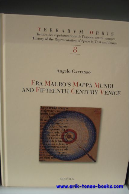
Fra Mauro's Mappa mundi and Fifteenth-Century Venice / Terraum orbis 8
brepols, 2011. Hardback. 470 pages ., 3 b/w ill. 16 colour ill., 210 x 270 mm, Languages: English, Terraum orbis 8 ISBN: 9782503523781
Fra Mauro's mappamundi, drawn around 1450 in the monastery of San Michele on Murano in the lagoon of Venice, is among the most relevant compendia of knowledge of the Earth and the Cosmos of the fifteenth century. By examining literary, visual, textual and archival evidences, some long considered lost, this book places the map within the larger context of Venetian culture in the fifteenth century. It provides a detailed analysis of both its main sources (auctores veteres such as Pliny, Solinus, Ptolemy, and novi, like Albert the Great, Thomas Aquinas, Marco Polo and Niccolo de? Conti) as well as of the composite networks of contemporary knowledge (scholasticism, humanism, monastic culture, as well as more technical skills such as marine cartography and mercantile practices), investigating the way they combine in the epistemological unity of the imago mundi. More a work on intellectual history than cartography, the book constructs a complex set of frameworks within which to situate Fra Mauro?s monumental effort. These range from the cultural history of the reception of the world map from the fifteenth to the nineteenth centuries to the analysis of the material conditions under which map-makers such as Fra Mauro worked; from the history of ideas, especially of natural philosophy to the links between world representations and travel literature. It also addresses the Venetian reception of Ptolemy?s Geography, the interactions between Venetian art, theology and cosmography and the complexities of the Venetian vernacular. The books develops a multi-tiered approach, in which different elements of the rich cultural context in which this world map was created, interact with each other, each casting a new light on the encyclopaedic work being analyzed.
Boeknummer: 31328 | Prijs: EUR 99.90
Alfred Hiatt
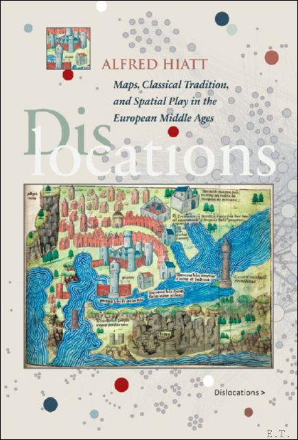
Dislocations: Maps, Classical Tradition, and Spatial Play in the European Middle Ages
Brepols, 2020. Hardback, xii + 347 pages, Size:152 x 229 mm, Illustrations:42 col., Language: English. ISBN: 9780888442185
Summary In Europe, during the Middle Ages, classical Greek and Roman geography continued to provide the fundamental structure for knowing the world's places and peoples. From encyclopedic compendia such as the Natural History of Pliny the Elder and its redaction in Julius Solinus's Polyhistor to the works of canonical Roman poets such as Virgil, Ovid, and Lucan, the geographical content of antique texts invited study and explication. Yet medieval authors well knew that classical spatial order, itself full of lacunae, only infrequently corresponded to their own reality. Dislocations: Maps, Classical Tradition, and Spatial Play in the European Middle Ages considers the ways in which medieval and, later, humanist geography absorbed and reinvented classical spatial models in order to address key questions of historical change, migration, and emerging national, regional, and linguistic identities. Drawing on a wide range of literary texts, maps, and geographical descriptions - and utilising the ancient but now largely discarded scholarly genre of the dialogue - Dislocations argues that medieval spatial representation was complex and richly textured, whether in the form of a careful gloss in a manuscript of Lucan's Civil War, or as the exuberant sexualized allegories of the fourteenth-century papal notary Opicinus de Canistris. The book also explores a further kind of dislocation: the surprising connections between medieval geographical thought and twentieth- and twenty-first-century visual arts, including Dadaism and the remarkable Mappamundi Suite of the Gujarati artist Gulammohammed Sheikh. While past spatial orders may be relegated to obscurity, they just as often linger - in archives, memories, and ruins - to be retrieved and reanimated in revealing ways.
Boeknummer: 65765 | Prijs: EUR 95.00
ANTHONISZOON,CORNELIS. Gouw,J.Ter.
De groote kaart van Amsterdam in 1544 van Kornelis Antoniszoon in twaalf bladen / ingekaderd.
Behoorende bij het vijfde deel der Geschiedenis van Amsterdam
Amsterdam, Van Holkema, 1885. Amsterdam, Tj. van Holkema,, 1885, ingelijst in frame.
12 losse gekleurde lithografische platen in fraaie lijst ingekaderd, In 14 kleuren op Hollandsch papier gedrukt door Tresling & Co. te Amsterdam. Boek in linnen is erbij. afmeting lijst; 1460x1160mm
Boeknummer: 54220 | Prijs: EUR 325.00
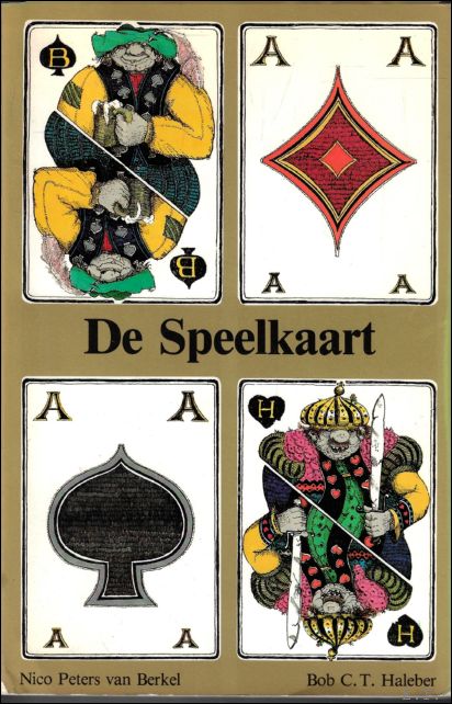
Berkel, Nico Peters van; Haleber, Bob C.T.
De Speelkaart
Heureka, Distributie, 1982. softcover 144 pag Illustrated. ISBN: 9789062624713
Boeknummer: 62434 | Prijs: EUR 10.00
Biedermann, Couto, J.L. Bacque-Grammont, M. Taleghani
Atlas historique du golfe Persique (XVIe-XVIIIe siecles). Historical Atlas of the Persian Gulf (Sixteenth to Eighteenth Centuries) Historical Atlas of the Persian Gulf (Sixteenth to Eighteenth Centuries), Couto, Bacque-Grammont, Taleghani, Biedermann.
Brepols - Harvey Miller, 2006. Hardback, 492 p., 75 b/w ill. 75 colour ill., 210 x 270 mm,
Languages: French, English, Persian. ISBN: 9782503522845 The Historical Atlas of the Persian Gulf is a joint initiative of the Ecole Pratique des Hautes Etudes in Paris, the University of Tehran, and the Documentation Centre of the Ministry of Foreign Affairs of Iran. The aim of this trilingual (French, English and Persian) publication is to trace the evolution of the cartographical representations of the Gulf between 1500 and 1750. About a hundred printed and manuscript maps from libraries and archives all over Europe, the United States and Iran have been gathered, some of them being published for the first time. The maps and charts are presented in five sections dedicated to Portuguese, Dutch, French, English and German cartography. Each item is published with enlarged detail reproductions showing the Gulf, and accompanied by brief commentaries as well as transcriptions of the place names and legends. The authors make numerous suggestions as to how the maps and charts developed in the context of international scientific exchange during the Early Modern age. Hence, the Atlas shows new perspectives on the genealogy of Gulf maps and provides an excellent working tool for future research on the cartography and the history of one of the World?s great strategic areas. Editors: Dejanirah Couto, Jean-Louis Bacque-Grammont, Mahmoud Taleghani Coordinator: Zoltan Biedermann Further contributors: Elio Brancaforte, Patrick Gautier Dalche L?Atlas historique du golfe Persique est une initiative conjointe de l?Ecole pratique des hautes etudes (Paris), de l?Universite de Teheran et du Centre de documentation du Ministere des affaires etrangeres d?Iran. L?objectif de cette publication trilingue (francais, anglais et persan) est de retracer l?evolution des representations du golfe entre 1500 et 1750. Une centaine de cartes imprimees et manuscrites provenant de bibliotheques et d?archives d?Europe, des Etats-Unis et d?Iran ont ete rassemblees, dont certaines publiees pour la premiere fois. Elles sont presentees en cinq sections consacrees aux cartographies portugaise, hollandaise, francaise, anglaise et allemande. Chacune d?elles est publiee avec une reproduction agrandie de la partie montrant le golfe et accompagnee d?un bref commentaire ainsi que de la transcription des toponymes et des legendes. Les contributions de plusieurs specialistes etudient en detail le developpement de la cartographie dans le contexte des echanges scientifiques de l?epoque moderne. Mettant ainsi en evidence de nouvelles perspectives sur la genealogie des cartes du golfe, l?Atlas constitue un outil de travail indispensable pour de futures recherches sur l?histoire de l?une des plus importantes zones strategiques du monde. Boeknummer: 42513 | Prijs: EUR 90.00
Languages: French, English, Persian. ISBN: 9782503522845 The Historical Atlas of the Persian Gulf is a joint initiative of the Ecole Pratique des Hautes Etudes in Paris, the University of Tehran, and the Documentation Centre of the Ministry of Foreign Affairs of Iran. The aim of this trilingual (French, English and Persian) publication is to trace the evolution of the cartographical representations of the Gulf between 1500 and 1750. About a hundred printed and manuscript maps from libraries and archives all over Europe, the United States and Iran have been gathered, some of them being published for the first time. The maps and charts are presented in five sections dedicated to Portuguese, Dutch, French, English and German cartography. Each item is published with enlarged detail reproductions showing the Gulf, and accompanied by brief commentaries as well as transcriptions of the place names and legends. The authors make numerous suggestions as to how the maps and charts developed in the context of international scientific exchange during the Early Modern age. Hence, the Atlas shows new perspectives on the genealogy of Gulf maps and provides an excellent working tool for future research on the cartography and the history of one of the World?s great strategic areas. Editors: Dejanirah Couto, Jean-Louis Bacque-Grammont, Mahmoud Taleghani Coordinator: Zoltan Biedermann Further contributors: Elio Brancaforte, Patrick Gautier Dalche L?Atlas historique du golfe Persique est une initiative conjointe de l?Ecole pratique des hautes etudes (Paris), de l?Universite de Teheran et du Centre de documentation du Ministere des affaires etrangeres d?Iran. L?objectif de cette publication trilingue (francais, anglais et persan) est de retracer l?evolution des representations du golfe entre 1500 et 1750. Une centaine de cartes imprimees et manuscrites provenant de bibliotheques et d?archives d?Europe, des Etats-Unis et d?Iran ont ete rassemblees, dont certaines publiees pour la premiere fois. Elles sont presentees en cinq sections consacrees aux cartographies portugaise, hollandaise, francaise, anglaise et allemande. Chacune d?elles est publiee avec une reproduction agrandie de la partie montrant le golfe et accompagnee d?un bref commentaire ainsi que de la transcription des toponymes et des legendes. Les contributions de plusieurs specialistes etudient en detail le developpement de la cartographie dans le contexte des echanges scientifiques de l?epoque moderne. Mettant ainsi en evidence de nouvelles perspectives sur la genealogie des cartes du golfe, l?Atlas constitue un outil de travail indispensable pour de futures recherches sur l?histoire de l?une des plus importantes zones strategiques du monde. Boeknummer: 42513 | Prijs: EUR 90.00
Bouloux, N.
Culture et savoirs geographiques dans l'Italie du XIVe siecle.
Brepols, 2002. Hardback , 340 p., 13 b/w ill. 4 colour ill., 210 x 270 mm, Languages: French. Terrarum Orbis (TO 2). ISBN: 9782503511214
Du point de vue des representations de l'espace, le XIVe siecle italien parait etre une epoque charniere. On y observe en effet le developpement de deux courants: une geographie que l'on peut qualifier (sans jugement de valeur) de "traditionnelle", dont les representants sont les universitaires, ou des encyclopedistes, et une geographie aux ambitions differentes, celle des premiers humanistes. Pour les premiers, conscients des mutations politico-territoriales accumulees depuis le XIIIe siecle, souvent au courant de l'elargissement des horizons asiatiques, le savoir recu de la tradition doit etre adapte et ajuste. Chez les seconds, l'interet pour l'Antiquite se traduit par la recherche active des textes. La confrontation de l'espace contemporain avec l'espace de l'Antiquite aboutit a des apories, a la mise en evidence des contradictions des auteurs et des savoirs et a des interrogations fecondes sur la possibilite de representer l'espace, et sur les modes de cette representation. Les successeurs de Petrarque renoncent ainsi a produire une synthese des connaissances anciennes et nouvelles et choisissent de suivre dans leurs elaborations l'ordre alphabetique, qui permet de juxtaposer les savoirs tout en se conformant a l'imperatif de l'exhausitivite. Nathalie Bouloux est maitre de conferences en histoire medievale a l'Universite Francois Rabelais (Tours). Le 14e siecle est une periode charniere a bien des egards en Italie et encore mal etudiee pour ce qui est du savoir geographique. Les chercheurs se sont trop longtemps focalises sur la redecouverte de Ptolemee, vue comme un element decisif des ?progres? de la geographie. N.B. tente une autre approche: comment le developpement des etudes humanistes a-t-il affecte les autres champs du savoir et en quoi la methode humaniste, appliquee a des textes geographiques, a-t-elle modifie la perception et la representation de l?espace ? La tache pouvait paraitre ecrasante, etant donne le nombre et la diversite des textes. N.B. a releve le defi. [?] Elle a su tirer de la multiplicite des sources une synthese reussie. [?] Il faut louer avant tout le remarquable travail effectue sur les documents. [?] Le livre comporte une copieuse bibliographie, des index utiles et des tres belles illustrations.?
Boeknummer: 41948 | Prijs: EUR 90.00
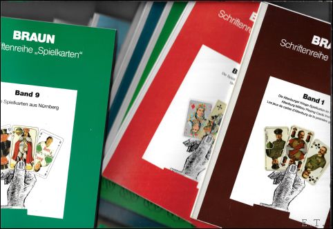
Braun, Franz (Hrsg.), Dieter Schroer-Ilisch
Braun Schriftenreihe Spielkarten *set. 9 Bände
Köln, Selbstverlag, 2000. softcovers 9 Bände. 4°, 21 x 29,5 cm, mit zahlreichen Abbildungen, illustrierter Original-Broschureinband mit Leinenrücken in schöner Erhaltun.
Antiquarische Schätze aus der Schriftenreihe Spielkarten von Braun. Titel der einzelnen 9 Bände; -Die Altenburger Kriegsspielkarten im 1.Weltkrieg -Die Spielkarten in der DDR -Köln und seine Spielkarten-Hersteller -Die Spielkartenfabrik B. Dondorf -Die Spielkartenfabrik Piatnik in Budapest -Die Spielkarten in Schweden 1892 - 1992 -Die Bielefelder Spielkarten-Fabrik -Die Altenburger und Stralsunder Spielkartenfabriken -Die Spielkarten aus Nürnberg
Boeknummer: 62443 | Prijs: EUR 275.00
CAMPBELL, TONY.
Hoogtepunten uit de wereld van de cartografie : oude kaarten en hun makers
Amsterdam, H.J.W. Becht, 1981.**. Gebonden, groen linnen, vergulde titel op de rug, originele geillustreerde omslagwikkel in kleur, 31x38,5cm, 148pp, rijkelijk en fraai geillustreerd in kleur. ISBN: 9789023004134
Hoogtepunten wereld der cartografie. Oude kaarten en hun makers. Dit werk telt 68 fraaie afbeeldingen van kaarten die als hoogtepunten in de geschiedenis van de cartografie worden beschouwd (uit 1200-1850). Bij elke kaart worden wetenswaardigheden over kaart, maker en tijdsbeeld vermeld, maar erg diepgaand is die informatie niet, eerder anekdotisch. Er is geen doorlopend verhaal dat de hoogtepunten met elkaar verbindt. De kaarten zijn ingedeeld naar continent. Het zwaartepunt ligt op kaarten van Noord-Amerika en Europa, waarbij vooral de Britse cartografie veel aandacht krijgt. Een korte inleiding en een summiere literatuurlijst zijn aan het hoofddeel toegevoegd. De auteur is antiquair met als specialiteit oude kaarten. Het gaat in deze uitgave eerder om de kaarten (waarvan de keuze goed is) dan om de tekst.
Boeknummer: 10908 | Prijs: EUR 10.00
CATALOGUS.
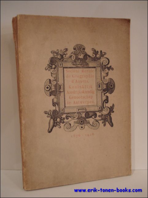
TENTOONSTELLING VAN DE BELGISCHE KAARTMAKERSKUNDE IN DE XVIe, XVIIe ET XVIIIe EEUWEN/ EXPOSITION DE LA CARTOGRAPHIE BELGE AUX XVIe, XVIIe ET XVIIIe SIECLES.
Anvers, J.-E. Buschmann, 1926. originele uitgeversomslag, 27x18,5cm, 59pp, geillustreerd z/w. rug beschadigd. ISBN: 9789072828279
Ingericht in het Museum Plantin-Moretus ter gelegenheid van de Vijftigste Verjaring van het Koninklijk Aardrijkskundig Genootschap te Antwerpen/ Organisee au Musee Plantin-Moretus a l' occasion du Cinquantenaire de la Societe Royale de Geographie d' Anvers.
Boeknummer: 13760 | Prijs: EUR 25.00
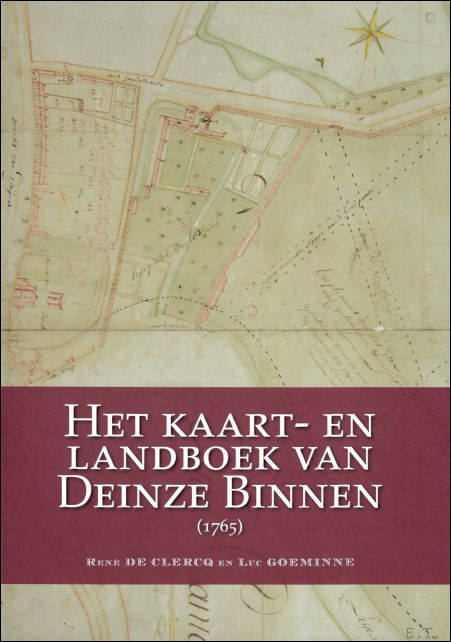
Clercq de René ; Goeminne Luc
Het kaart- en landboek van Deinze binnen (1765)
Provincie Oost-Vlaanderen 2020, 2020. 1. Hardcover, 391 pagina's, Nederlands, 345 x 250 x 40 mm, Nieuwstaat, illustraties / foto's in kleur en z/w,. ISBN: 9789082732863
Wie op zoek is naar voorouders in Deinze of naar de voorgeschiedenis van percelen die in de gemeente gelegen zijn, kan vanaf nu Het Kaart- en Landboek van Deinze Binnen (1765) raadplegen. Het boek is het eindresultaat van een jarenlange studie door lokaalhistorici René De Clercq en Luc Goeminne. Net als het kadaster nu, bevat een landboek informatie over alle percelen die in Deinze gelegen zijn en over de eigenaars ervan. Maar in dit geval is het een momentopname van 1765. Daarnaast zijn er twee sets kaarten, waarvan één in kleur, opgenomen in het boek. Bovendien is er onderzoek gebeurd naar de verhouding tussen Deinze Binnen en Buiten, over het uitzicht van de stad, over de toponiemen, de verschillende soorten bewoners en eigenaars, het verenigingsleven en nog zoveel meer. Via de indrukwekkende personen- en plaatsnamenindicatie kan deze goudmijn efficiënt doorzocht worden.
Boeknummer: 57737 | Prijs: EUR 35.00
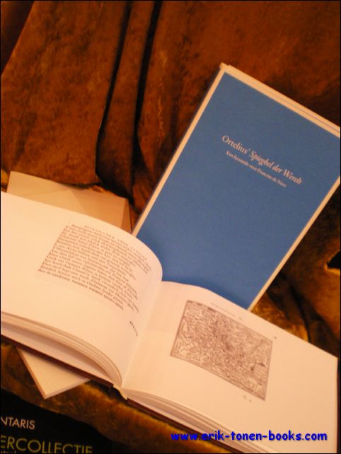
Cockx-Indestege Elly, Imhof Dirk, Meeus Hubert [edit.], Moermans Norbert.-
Ortelius Spieghel der Werelt, a facsimile for Francine de Nave
Antwerpen, Vereniging van Antwerpse Bibliofielen, 2009. Gebonden in kunstleder (atlas) bijdragen in twee boeken, samen in een katonnen omslag. ing. 63pp 76pp. text in nederlands en in English. Bound in artificial leather (atlas) contributions in two books, together in a cotton cover. ing. 63pp 76pp. text in Dutch and in English. ISBN: 9789080885509
als spiegel van Peeter Heyns / as mirror of Peeter Heyns het drukken en de verspreiding van de eerste atlas edities van de zakatlas van Ortelius / the printing and selling of the first editions of Ortelius 's pocket atlas, description of facsimile editions, literature, De Nave; een portret en bibliografie with summary. as mirror of Peeter Heyns / as mirror of Peeter Heyns the printing and distribution of the first atlas editions of the pocket atlas of Ortelius / the printing and selling of the first editions of Ortelius' pocket atlas, description of facsimile editions, literature, De Nave; a portrait and bibliography with summary.
Boeknummer: 21734 | Prijs: EUR 74.50
Codde, R./ Keyser, de, L.
Mer du Nord, côte, estuaire de l'Escaut, mer de l'Escaut. Atlas de Belgique
Brussel, Koninklijke Belgische Academie, 1967. couverture souple, jaquette originale de l'éditeur, 29,5 x 21 cm, 64 pp.
Comité national de géographie, Comité national de l'Atlas. Atlas de Belgique : commentaire ; plein. 18.
Boeknummer: 56771 | Prijs: EUR 15.00
Codde, R./ Keyser, de, L.
Noordzee, kust, scheldemonding, zeeschelde. Atlas van Belgie:
Brussel, Koninklijke Belgische Academie, 1967. softcover, originele uitgeversomslag, 29,5x21cm, 64pp.
Nationaal comite voor aardrijkskunde, commissie voor de nationale atlas. Atlas van Belgie: commentaar ; vol. 18.
Boeknummer: 14247 | Prijs: EUR 15.00
Coll.
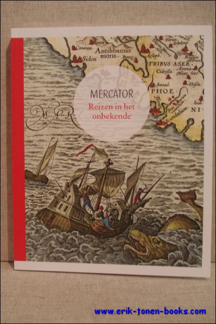
Mercator. Reizen in het onbekende.
S.l., Museum Plantin-Moretus / Bai, 2012. Paperback, 122pp., 21x26cm., rijkelijk geillustr. in kleur., NL tekst. nieuw. ISBN: 9789085866282
Het wereldbeeld van de Europeaan werd in de zestiende en zeventiende eeuw gevoelig uitgebreid, een nieuwe wereld ging open. Ontdekkingsreizigers, handelaars en diplomaten schreven hun reiservaringen neer in dagboeken en verslagen. Ze schetsten een beeld van recent ontdekte gebieden, waaruit we vandaag kunnen afleiden hoe toen naar andere culturen gekeken werd. De reisverhalen werden soms aangedikt met de nodige portie fantasie, maar gaven ook vaak een nauwkeurige beschrijving van exotische streken. Het waren belangrijke bronnen van informatie voor de cartografie, die bijgevolg een explosieve groei kende. Ook de kennis van de navigatie groeide aanzienlijk als gevolg van de verkenningsdrang van reizigers. De enorme maritieme expansie zorgde er immers voor dat er behoefte was aan nieuwe technieken en instrumenten om veilig en snel een bestemming te bereiken. De ontwikkeling van de cartografie, waarin Gerard Mercator een sleutelrol speelde, vergrootte op haar beurt de mobiliteit van de Europeaan. Het was voor de zestiende-eeuwse avontuurlijke reiziger niet ongewoon om voor een lange tijd op handelsmissie of studiereis te vertrekken. Een van die jonge avonturiers was Balthasar iii Moretus. Hij maakte meerdere reizen door Europa, onder meer naar Italie, en schreef zijn indrukken ervan in dagboeken neer. Mercator: Reizen in het onbekende brengt deze boeiende periode van wisselwerking tussen het reisgedrag van de Europeaan en de ontwikkeling van de cartografie letterlijk en figuurlijk in kaart.
Boeknummer: 34778 | Prijs: EUR 17.95
Collectif
Donation Camoin et Cie Exposition du Tarot de Marseille
Musée du Vieux-Marseille, 1975. broche-softcover, in-8° 70 pages, Illustrated couleurs et n&b. 14x24 cm. .
Catalogue de l'exposition qui s'est tenue au Musée du Vieux-Marseille du Octobre 1974 au Mars 1975
Boeknummer: 62455 | Prijs: EUR 20.00
collectif
Travelling with Plantin
Journeys through Europe in the 16th century
Exhibitions International 2020, 2020. 1. Hardback, 128 pages, English, 225 x 175 mm, New !. ISBN: 9789085868095
Plantin reisde veel, naar Parijs, waar hij een boekenwinkel en kanthandel had, naar Leiden waar hij een tweede bedrijf had, naar Frankfurt voor de buchmesse, ... Bijna de helft van het jaar was hij onderweg. Hij was een ervaren reiziger. Hoe reisden mensen in een tijd zonder autowegen, gps, smartphone of tripadvisor? Plantin had tabellen ter beschikking die uitrekenden hoelang de trajecten duurden. Helaas hield hij niet nauwgezet bij waar hij sliep, at en hoeveel hij uitgaf. Gelukkig zijn er andere tijdgenoten, zoals Dürer en Montaigne die wel uitgebreide notities namen tijdens hun reizen. In het kielzog van Plantin sturen we onder meer jonge fotografen op reis met verschillende vervoersmiddelen. Waarin verschillen reisafstanden en reistijden met de reizen in de zestiende eeuw?
Boeknummer: 55933 | Prijs: EUR 25.00
Cortambert, E
Géographie universelle de Malte-Brun. 8 vols. MALTA
Paris,, DUFOUR, BOULANGER ET LEGRAND, ÉDITEURS, 1864. Demi-reliure cuir, 8 vols. Frontispices Eugea et Malte-Brun. AVEC Nombreuses gravures, + cartes + belle géographiques coloriées.
Géographie universelle de Malte-Brun. 8 vols. MALTA REVUE, RECTIFIÉE ET COMPLETEMENT MISE AU NIVEAU DE L'ÉTAT ACTUEL DES CONNAISSANCES GÉOGRAPHIQUES
Boeknummer: 62056 | Prijs: EUR 200.00
D. Imhof (ed.);
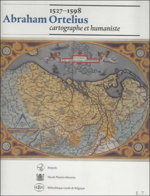
Abraham Ortelius cartographe et humaniste,
Turnhout, Brepols, 1998. Hardback, 208 pages ., 23 x 28 mm. Illustré, Neuf / bon etat Languages : French. ISBN: 9782503508115
R.W. Karrow Jr., 'Abraham Ortelius, une introduction'; Prof. Dr. H. Elkhadem, 'La naissance d'un concept: Le Theatrum Orbis Terrarum d'Ortelius'; P.H. Meurer, 'Abraham Ortelius comme cartographe'; L. Danckaert, 'Coup d'oeuil sur les cartes d'atlas d'Ortelius'; Dr. A. Meskens, 'Le monde sur une surface plane : cartographe mathematique a l'epoque d'Abraham Ortelius'; L. Wellens-De Donder, 'Un atlas historique : le Parergon d'Ortelius'; Dr. G. Mangani, 'La signification providentielle du Theatrum orbis terrarum'; Prof. Dr. J. Romm, 'Mythe, cartes et histoire : l'utilisation par Ortelius de l'Atlantide dans le developpement de la theorie de la derive des continents' ; Drs. J. Depuydt, 'Le cercle d'amis et de correspondants autour d'Abraham Ortelius'; Prof. Dr. H. Meeus, 'Abraham Ortelius et Peeter Heyns'; Prof. Dr. G. Tournoy, 'Abraham Ortelius et la poesie politique de Jacques van Baerle'; N. Buttner, 'Abraham Ortelius comme collectionneur'; C.E. Dekesel, 'Abraham Ortelius : numismate'; D. Imhof, 'Abraham Ortelius et Jean I Moretus : la production et la vente des oeuvres d'Ortelius par l'Officine Plantinienne de 1589 a 1610'; Bibliographie.
Boeknummer: 41485 | Prijs: EUR 29.99
Danckaert L.
Abraham Ortelius (1527-1598), cartograaf en humanist.
Brussel/Antwerpen/Turnhout, KBR/Museum Plantin-Moretus/Brepols,1998. softcover In-4, 208 pp.rijkelijk geill.in kleur en zw/w, ISBN: 905622025x
Geillustreerd, kaarten, portretten, kaartprojecties, atlassen. Bibliografie. als nieuw
Boeknummer: 19106 | Prijs: EUR 20.00
Danckaert L.
Abraham Ortelius (1527-1598), cartograaf en humanist.
Brussel/Antwerpen/Turnhout,, KBR/Museum Plantin-Moretus/Brepols,1998. Hardcover In-4, 208 pp.rijkelijk geill.in kleur en zw/w, ISBN: 905622025x
Geillustreerd, kaarten, portretten, kaartprojecties, atlassen. Bibliografie. als nieuw
Boeknummer: 67238 | Prijs: EUR 30.00
DE BRABANDER, G.
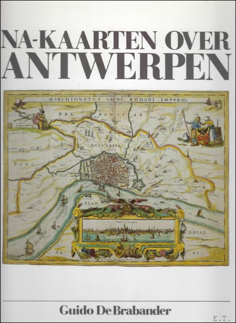
NAKAARTEN OVER ANTWERPEN.
Brugge, Van de Wiele, 1988. Gebonden, linnen, originele geillustreerde uitgeversomslag in kleur, 32x25cm, 160pp, geillustreerd in kleur. ISBN: 9069660393
Geschiedenis d.m.v. 100-tal kaarten waarvan de meeste in groot formaat en vierkleurendruk.
Boeknummer: 764 | Prijs: EUR 35.00
DEJARDIN, A.
DEUXIEME ET TROISIEME SUPPLEMENT A LA DESCRIPTION DES CARTES DE LA PROVINCE D ' ANVERS ET DES PLANS DE LA VILLE.
Anvers, Imprimerie J. Plasky, 1888 - 1892. Broche, couverture nouveau, 15x23cm, 553pp, pas coupe.
Deuxieme partie, extrait des annales de l' Academie de l' Archeologie de Belgique, 4e serie, tome VII
Boeknummer: 250 | Prijs: EUR 20.00
DEJARDIN, A.
DEUXIEME SUPPLEMENT A LA DESCRIPTION DES CARTES DE LA PROVINCE D' ANVERS ET DES PLANS DE LA VILLE. ( 1er partie)
Anvers, Imprimerie J. Plasky, 1888. Broche, couverture d' editeur, 15x23cm, 236pp, pas coupe.
Premiere partie, extrait des annales de l ' Academie de l' Archeologie de Belgique, 4e serie, tome II
Boeknummer: 251 | Prijs: EUR 15.00
Demetris Christofias
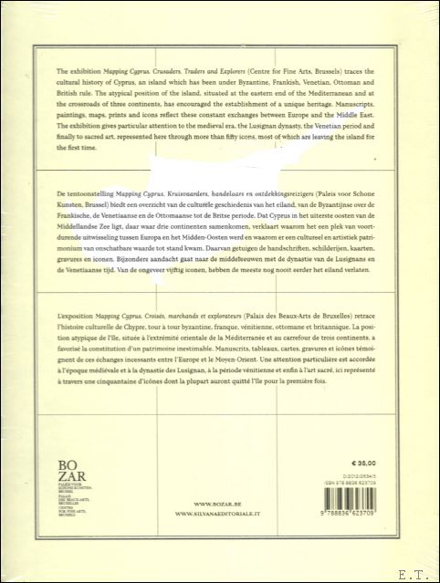
Mapping Cyprus. Crusaders, Traders and Explorers. Kruisvaarders, handelaars en ontdekkinsreizigers. Croises, marchands et explorateurs.
Brussels, Silvana - Bozar Books, 2012. HARDCOVER, 287x230mm, 240p, 120 colour illustrations, English/ French/ Dutch edition. New. ISBN: 9788836623709
Chypre se situe a l'extreme est de la mer Mediterranee, au carrefour de trois continents : l'Europe, l'Asie et l'Afrique. Autrefois, l'ile etait a la fois une pomme de discorde et un refuge pour l'Est byzantin, l'Occident latin et le monde arabe. Apres sa conquete par Richard Coeur de Lion, les Lusignans, les Venitiens, les Ottomans et les Britanniques se sont succede au pouvoir. Mapping Cyprus (1192-2012) se penche sur l'ile tant convoitee de Chypre a travers les yeux des artistes, ecrivains, pelerins et voyageurs europeens. Notamment la periode franque de Lusignan pendant les croisades est illustree par des personnages de legende comme la princesse Melusine. C'est l'illumination d'un episode de l'histoire de l'Europe qui frappe les imaginations et qui etait aussi determinante pour l'identite de Chypre, entree en 2004 dans l'Union europeenne et qui en assumera la Presidence en 2012. Musique, mots, multimedia et art contemporain donnent vie a une suite d'icones et autres tresors artistiques. L'exposition explore cette plaque tournante des cultures, avec tous les conflits et echanges qui la caracterisent. Le present de l'ile divisee est egalement mis sous les projecteurs. Cyprus ligt in de uiterst oostelijke uithoek van de Middellandse Zee. Drie continenten komen er samen: Europa, Azie en Afrika. Het eiland vormde een twistappel en een toevluchtsoord voor het Byzantijnse Oosten, het Latijnse Westen en de Arabische wereld. Na de verovering door Richard Leeuwenhart hadden de Lusignans, Venetianen, Ottomanen en Britten afwisselend de macht in handen. Mapping Cyprus (1192- 2012) bekijkt de begeerde bruid Cyprus door de ogen van Europese kunstenaars, schrijvers, pelgrims en reizigers. Vooral de Frankische Lusignan periode ten tijde van de kruisvaarders wordt belicht, met fabelachtige figuren als de prinses Melusine. Een illuminatie dus van een tot de verbeelding sprekend stukje Europese geschiedenis en sterk bepalend voor de identiteit van Cyprus dat in 2004 toetrad tot de Europese Unie en in 2012 het Voorzitterschap op zich neemt. Een reeks iconen en andere kunstschatten komt tot leven in samenspraak met muziek, woord, multimedia en hedendaagse kunst. De tentoonstelling dringt diep door in het knooppunt van culturen, met alle conflicten en uitwisselingen van dien. Tegelijk komt het heden van dit verdeelde eiland in het vizier. Cyprus is situated in the far eastern extremity of the Mediterranean Sea, where the three continents of Europe, Asia, and Africa are neighbours. The island has been both a bone of contention and a place of refuge for the Byzantine East, the Latin West, and the Arab world. After its conquest by Richard the Lionheart, power there was held at different times by the Lusignan dynasty, the Venetians, the Ottomans, and the British. Mapping Cyprus (1192-2012) looks at the coveted land of Cyprus through the eyes of European artists, writers, pilgrims, and travellers. Above all light is shed on the Frankish Lusignan period at the time of the crusaders and such fabled figures as Princess Melusyne.An illumination therefore of an evocative period of European history that was very determining for the identity of Cyprus that joined the European Union in 2004 and will be holding the EU presidency in 2012. A series of icons and other art treasures are brought to life in a dialogue with music, words, multimedia presentations, and contemporary art. The exhibition takes an in-depth look at this crossroads of cultures and at the conflicts and exchanges that have shaped it, while also focusing on today's divided island.
Boeknummer: 36375 | Prijs: EUR 29.99
DENUCE, Jean;
LES ORIGINES DE LA CARTOGRAPHIE PORTUGAISE ET LES CARTES DES REINEL,
Gand, Van Goethem, 1908. Broche, couverture papier, 170 x 240mm., 137pp., 5 cartes depliantes.
Recueil de travaux publies par la Faculte de Philosophie et Lettres. 35e Fascicule. Etat satisfaisant.
Boeknummer: 24803 | Prijs: EUR 30.00
Dirk Imhof,Iris Kockelbergh Co-auteur: Jan Parmentier Ad Meskens
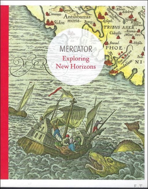
Mercator: Exploring New Horizons
BAI, 2012. softcover, 124 pag. 26x21cm, Illustrated. ISBN: 9789085866299
The European perspective opened up markedly in the sixteenth and seventeenth centuries as a whole new world unfolded. Explorers, traders and diplomats committed their travelling experiences to paper in journals and reports. They sketched out their impressions of recently discovered territories, making it possible for us today to see how they viewed other cultures at that time. These travel narratives may have been embroidered with a certain degree of fantasy at times, nevertheless, they also frequently provided precise descriptions of exotic regions. They were important sources of information for cartography, which underwent an explosive evolution as a result. Navigational knowledge also grew considerably as a consequence of the traveller's urge to explore. After all, maritime expansion on a vast scale led to a need for new techniques and instruments in order to reach destinations quickly and safely. The development of cartography, in which Gerard Mercator played a pivotal role, was in turn responsible for expanding the mobility of Europeans as a whole. It was not uncommon for adventurous sixteenth-century travellers to embark on lengthy journeys as part of a trade mission or in connection with their education. One such young adventurer was Balthasar III Moretus. He made several journeys throughout Europe, including one to Italy, and kept journals of his observations on the way. Mercator: Exploring New Horizons maps out literally and figuratively this fascinating period of interplay between European travelling behaviour and the development of cartography.
Boeknummer: 57996 | Prijs: EUR 30.00
Diverse auteurs
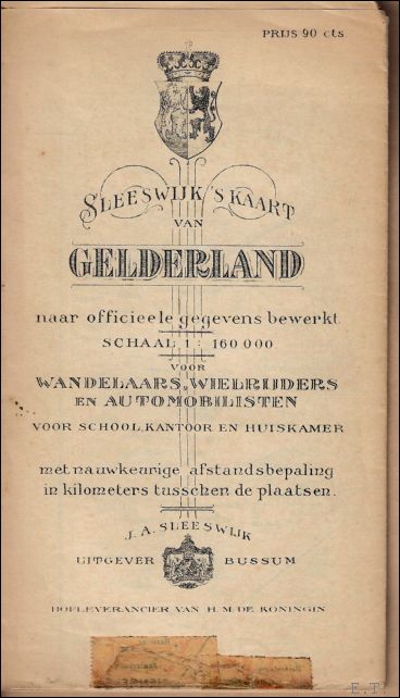
Kaart van Gelderland - schaal 1 : 160 000
Bussum, J.A. Sleeswijk. oorspronkelijk gevouwen kaart intact/ compleet en in goede staat.
Lithografie van J. Smulders & Co., Den Haag.
Boeknummer: 61676 | Prijs: EUR 10.00
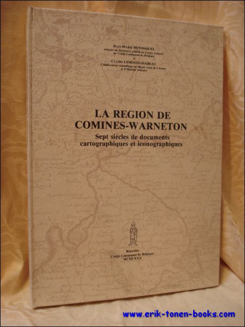
Duvosquel, Jean-Marie / Lemoine-Isabeau, Claire.
La region de Comines-Warneton. Sept siecles de documents cartographiques et iconographiques.
Credit Communal de Belgique, Bruxelles, 1980. 151 p., [20] p. of plates (some folded) : ill. (some col.) ; 35 cm. Series Collection Histoire Pro Civitate 8 Bibliography Includes bibliographical references.
Boeknummer: 43497 | Prijs: EUR 50.00
Eduard Van Ermen, Luc Vanhove, Stefan van Lani
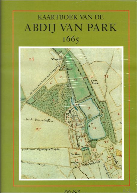
Het kaartboek van de Abdij van Park 1665
Algemeen Rijksarchief 2000, 2000. Hardcover, 266 pagina's, Nederlands, 345 x 245 mm, Nieuw, met illustraties in kleur en z/w, .
Facsimile van Typographie boeck oft delineatie en affteeckeninch der abdije en convent van heeren Parch: en alle haer goederen, appendentien en dependentien der selfver; soo van erfeven, erfpachten, leenen als cheynsen; by ghesworene landtmeters afghemeten, door lasten en sorge vande eerwerd: heer Flibert de Pape, abt van Parch ; en door den selfve bij een vergadert en in order ghestelt, en volbracht. Anno 1665
Boeknummer: 57314 | Prijs: EUR 48.50
Erik Houtman, Marie Juliette Marinus
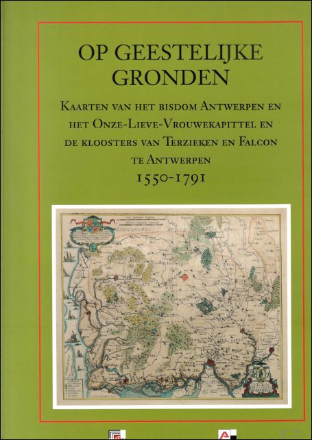
Op geestelijke gronden : Kaarten van het bisdom Antwerpen en het Onze-Lieve-Vrouwekapittel en de kloosters van Terzieken en Falcon te Antwerpen, 1550-1791
ALGEMEEN RIJKSARCHIEF 2009, 2009. Hardcover, 320 pagina's, Nederlands, 340 x 250 mm, Nieuw, met illustraties in kleur en z/w,. ISBN: 9789057461507
Cartografische en iconografische bronnen voor de geschiedenis van het landschap in België
Boeknummer: 57316 | Prijs: EUR 49.00
ESPENHORST, Jurgen und KUMPEL, Erhard;
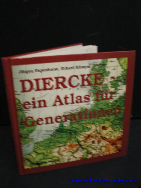
Diercke, Ein Atlas Für Generationen. Hintergründe, Geschichte Und Bibliographische Daten Bis 1955.
Schwerte, Pangaea Verlag, 1999. Gebunden, Frontispiz, 210 x 215mm., 119S., illustriert. ISBN 3 930401 50 9. ISBN: 3930401509
Ein Eckstein des Unterrichts entsteht. Bibliographie des DIERCKE. Bibliographie der reduzierten Ausgaben. Anhang. Namenverzeichnis. Guter Zustand.
Boeknummer: 19480 | Prijs: EUR 20.00
ESPENHORST, JURGEN.
ANDREE STIELER MEYER & CO.
Swerthe, Pangaea Verlag, 1994. Gebunden, original kartoniert illustriert koloriert, 15x21,5cm, 432pp, illustriert s/w.
Bibliographie der Handatlanten. Handatlanten des deutschen Sprachraums ( 1800 - 1945). Nebst Vorlaufen und Abkommlingen im In- und Ausland. Bibliographisches Handbuch. Mit einem Vorwort von Lothar Zogner.
Boeknummer: 11479 | Prijs: EUR 99.00
F. Laurentius
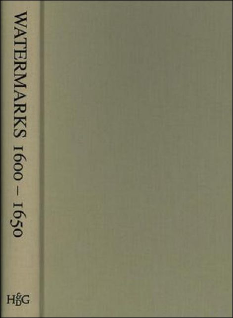
Watermarks (1600-1650) Found in the Zeeland Archives
Hes & De Graaf Publishers, 2007. Hardcover, cloth, 281 pages, 32x24cm *Very fine condition. (new). ISBN: 9789061940302
With this work the authors are filling a gap which is existing on the research material of watermarks of the seventeenth century. The research for this book is based on the X-ray method developed by Jan van Aken, emiritus professor dental radiology of the University of Utrecht. This method guarentees a 100% accurate digital image of the watermark. With 675 true size photographs and detailed descriptions.
Boeknummer: 64220 | Prijs: EUR 585.00
Fournier, Félix Alfaro
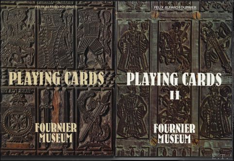
Playing Cards: General History From Their Creation to The Present Day Set Vol. I and II
Vitoria,, Heraclio Fournier,, 1982/1988. Hardcover with dusjacket, 2 vols in slipcase, 285 x 215 mm, volume 1 : 343 pp, volume 2 : 112 pp with 4,000 illustrations in full color and 2,000 descriptions of packs. Text in English. ISBN: 9788485074112
This book constitutes the most complete graphical repertoire of playing cards which has been published to date, with 4,000 illustrations in full color and 2,000 descriptions of packs. It is an essential book for collectors and enormously. Great reference for those who love playing and/or collecting cards, history, graphic illustration and games. "Playing Cards: General History from their Creation to the Present Day" by Felix Alfaro Fournier, Spanish heir to a playing card manufacturer and founder of the Fournier Museum in Vitoria, Spain - a place devoted to the development and history of these mini-works of art. Book contain lots of images of Spanish cards from the 1400's onward, but also Italy, France, Germanic Countries, British Isles, Switzerland, Belgium, Scandinavian Countries, Hungary, Spanish-Portugese America, even China, Japan, India, and Persia. Each card is accompanied by a succinct description.
Boeknummer: 62447 | Prijs: EUR 99.50
G. Fournier-Antonini
Barcelone, Genes et Marseille, Cartographies et images, XVIe-XIXe siecle.
2012. Hardback,863 p., 40 b/w ill. 19 colour ill., 210 x 270 mm, Languages: French. ISBN: 9782503544922
Pour la premiere fois, une histoire comparee est appliquee a la cartographie urbaine. En collectant meticuleusement les vues et plans de Barcelone, Genes et Marseille conserves dans les principaux fonds cartographiques europeens, l'auteur analyse l?evolution des productions et des usages des images, depuis leur apparition dans la litterature humaniste jusqu?a l'emergence de la photographie. Qu?il s?agisse de plans ornant les galeries cartographiques, de representations editees dans des atlas ou diffusees sur le marche de l?estampe, de cartes militaires ou de plans d?amenagement urbain, les images traduisent les dynamiques de conception graphique et mentale des villes mediterraneennes. En eclairant les formes de pratiques cartographiques, ce livre propose d'aborder les representations urbaines par l?evolution des rapports a la ville, telle qu?elle peut etre percue, vecue et imaginee, dans les milieux intellectuels tres divers dont elles proviennent.Guenievre Fournier-Antonini est docteur en histoire moderne de l'Ecole des hautes etudes en sciences sociales, ancienne boursiere de l'Ecole francaise de Rome, recompensee par le John Brian Harley Fellowship Research. Commissaire de l?exposition La ville figuree organisee au musee d?histoire de la ville de Marseille en 2005, elle a publie l?ouvrage du meme nom aux editions Parentheses.
Boeknummer: 42107 | Prijs: EUR 199.00
Gerrit Verhoeven
ON THE ROAD WITH PLANTIN Travel in the 16th Century
Antwerp, BAI, 2021. HB, 215 x 165 mm, 128 pages, English edition. ISBN: 9789085868095
Plantin traveled a lot, to Paris, where he had a bookstore and lace trade, to Leiden where he had a second business, to Frankfurt for the buchmesse, ... He was on his way almost half of the year. He was an experienced traveler. How did people travel in a time without motorways, GPS, smartphone or trip advisor? Plantin had tables available that calculated how long the trajectories lasted. Unfortunately, he did not keep track of where he slept, ate, and how much he spent. Fortunately, there are other contemporaries, such as Dürer and Montaigne who did take extensive notes during their travels. In the wake of Plantin, we send young photographers on different journeys with various means of transport. How do travel distances and travel times differ from journeys in the sixteenth century?
Boeknummer: 55941 | Prijs: EUR 25.00
Gerrit Verhoeven
OP REIS MET PLANTIJN Onderweg in de 16de eeuw
Antwerpen, BAI, 2021. HB, 215 x 165 mm, 128 pagina's NL edition. * nieuw! ISBN: 9789085868088
Plantin reisde veel, naar Parijs, waar hij een boekenwinkel en kanthandel had, naar Leiden waar hij een tweede bedrijf had, naar Frankfurt voor de buchmesse, ... Bijna de helft van het jaar was hij onderweg. Hij was een ervaren reiziger. Hoe reisden mensen in een tijd zonder autowegen, gps, smartphone of tripadvisor? Plantin had tabellen ter beschikking die uitrekenden hoelang de trajecten duurden. Helaas hield hij niet nauwgezet bij waar hij sliep, at en hoeveel hij uitgaf. Gelukkig zijn er andere tijdgenoten, zoals Dürer en Montaigne die wel uitgebreide notities namen tijdens hun reizen. In het kielzog van Plantin sturen we onder meer jonge fotografen op reis met verschillende vervoersmiddelen. Waarin verschillen reisafstanden en reistijden met de reizen in de zestiende eeuw?
Boeknummer: 55940 | Prijs: EUR 25.00
Goodall, George / Treharne, R.F.
Muir's new school atlas of universal history.
London, George Philip and son limited, 1953. Bound, green boards, VIIIpp., 56 col. maps, 33-56pp., 22.5x28cm., good cond.
Boeknummer: 29419 | Prijs: EUR 19.00
Greta Milis - Proost
Inventaris der Kaarten en Globes
Gent, Rijksuniversiteit Gent, 1967. 1. Softcover, 464 pag. NL. in zeer goede staat, 245 x 160 mm. geen illustraties. ISBN: X
Boeknummer: 63600 | Prijs: EUR 20.00
H. Elkhadem, W. Bracke (eds.);
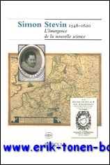
Simon Stevin, 1548-1620 L'emergence de la nouvelle science,
Turnhout, Brepols, 2004. Paperback, 184 p., 60 b/w ill. + 24 colour ill., 23 x 28 mm. ISBN: 9782503517049
Durant l'annee 2004, de multiples manifestations culturelles se deroulent en Belgique pour celebrer la presidence neerlandaise de l'Union europeenne. La Bibliotheque royale de Belgique s'y associe en organisant une exposition consacree a Simon Stevin, qui incarnait deja l'idee europeenne : ne a Bruges en 1548, il emigra aux Pays-Bas pour y poursuivre sa carriere scientifique et pour assurer a ses idees la plus large diffusion possible. En l'absence de toute justification formelle de sa part, plusieurs hypotheses tentent d'expliquer ce depart -emigration forcee ou exil volontaire?- sans etre en mesure d'apporter une quelconque reponse qui puisse emporter la conviction. Aux Pays-Bas, Simon Stevin acquit la protection, la confiance et meme l'amitie du Prince Maurice de Nassau. Simon Stevin fut un theoricien, de tres haut niveau comme en temoignent notamment ses ecrits mathematiques, linguistiques ou cosmographiques. En outre, il fut un praticien hors pair dont les realisations dans des domaines aussi divers que l'hydraulique, la mecanique, la physique et l'art des fortifications prouvent le genie. Comme bien d'autres hommes de science de la Renaissance et des debuts de l'epoque moderne, Simon Stevin consacra beaucoup de son temps et de son energie a realiser des experiences scientifiques : il mettait en ?uvre la methode inductive dont il elargissait constamment le champ d'application. Cette nouvelle approche methodologique donna naissance a une science nouvelle. Languages : French,
Boeknummer: 41487 | Prijs: EUR 34.00


